


 Follow Us
|
|

Getting Started
1. Introduction
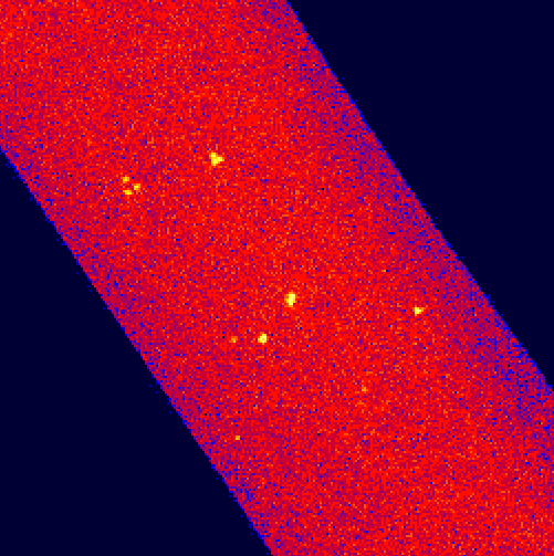
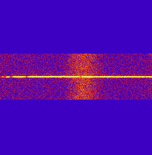
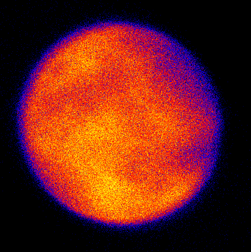
The Extreme Ultraviolet Explorer (EUVE) was the first satellite entirely dedicated to the Extreme Ultraviolet (EUV) band of the spectrum (70 -760 Å). Launched June 7, 1992, EUVE conducted an all-sky survey that detected over 900 objects. The 6 month survey portion of the mission was followed by 8 years of pointed spectroscopic observations of over 350 objects. The EUVE instrumentation included the Deep Survey (DS) imager and 3 spectrometers. One-half of the light falling in the telescope was focused on the DS and the remaining half was intercepted by one the the spectrometers. The short wavelength spectrometer covered 70-190 Å, the medium wavelength spectrometer covered 140-380 Å, and the long wavelength spectrometer covered 280-760 Å. The resolving power was 260 in each spectrometer. The data from the 3 all-sky survey telescopes ("scanners") is not archived here.
The available data products for the EUVE spectrometers and Deep Survey instruments are stored in two different formats: 1) Binary FITS tables that include time-tagged events for temporal analysis (e.g. light-curves) and 2) 2-D FITS images of the DS and spectrometers. All 4 instruments are stored in a single FITS file with 4 extensions. The reductions that produced the 2-D images are expected to fill the needs of most users, but these can be re-extracted from the FITS tables. EUVE data resides at HEASARC, but are also available through MAST.
| If you seek: | Go Here: | |
|---|---|---|
| Survey Data | SKyView | |
| Spectra | Retrieve _img files | |
| Light-curves | Retrieve _evt files | |
| Abstract Search | EUVE Abstract Search | |
| Pretty Pictures | Gallery | |
 |
 |
 |
|
|
|